-40%
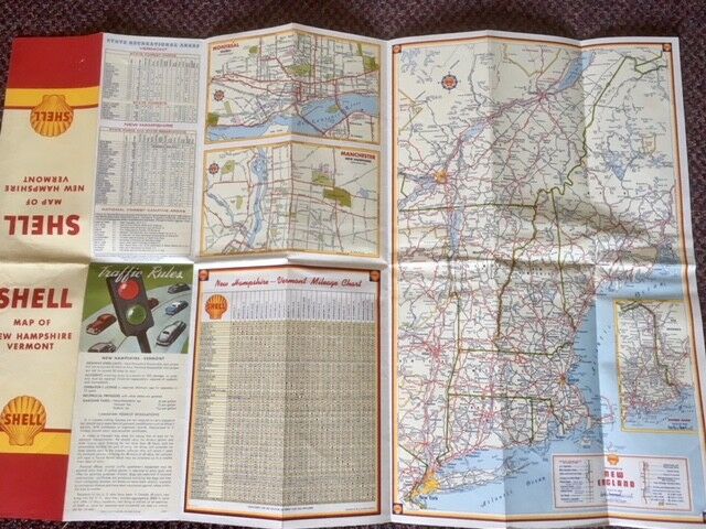
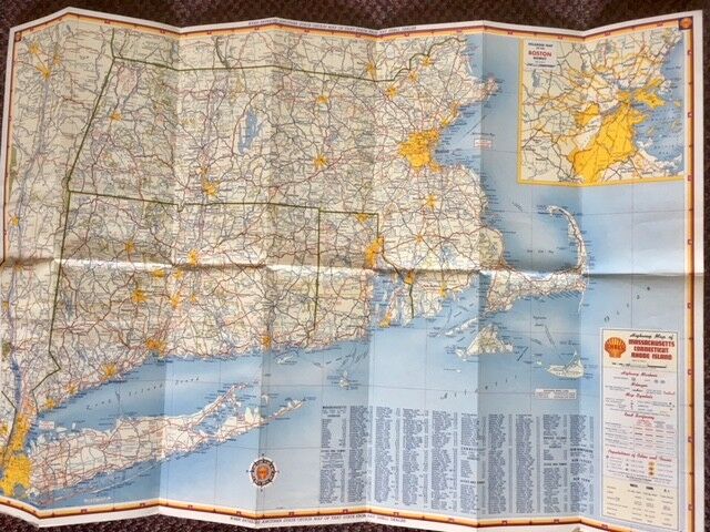
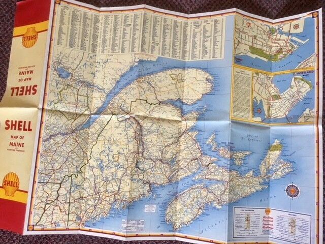
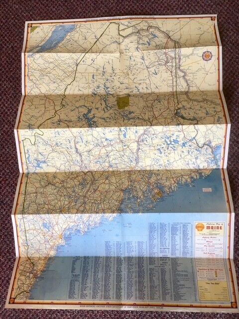
LOT: 1950 Maine,1950 MASS, CONN, RI, 1950 NH & Vermont Road Maps, by Shell Oil
$ 6.83
- Description
- Size Guide
Description
LOT: 1950 Maine,1950 Massachusetts, Connecticut, Rhode Island, 1950 New Hampshire & Vermont Road Maps, by Shell OilEach
Map
opens to 18" x 36" and has great detail on old road alignments, with cartography by the once-mighty H.M. Gousha Co.
This map was distributed by the Shell Oil Company in 1950.
Condition: Maps are VERY GOOD condition. No tears or rips, but there are some small spots of discoloring.


