-40%
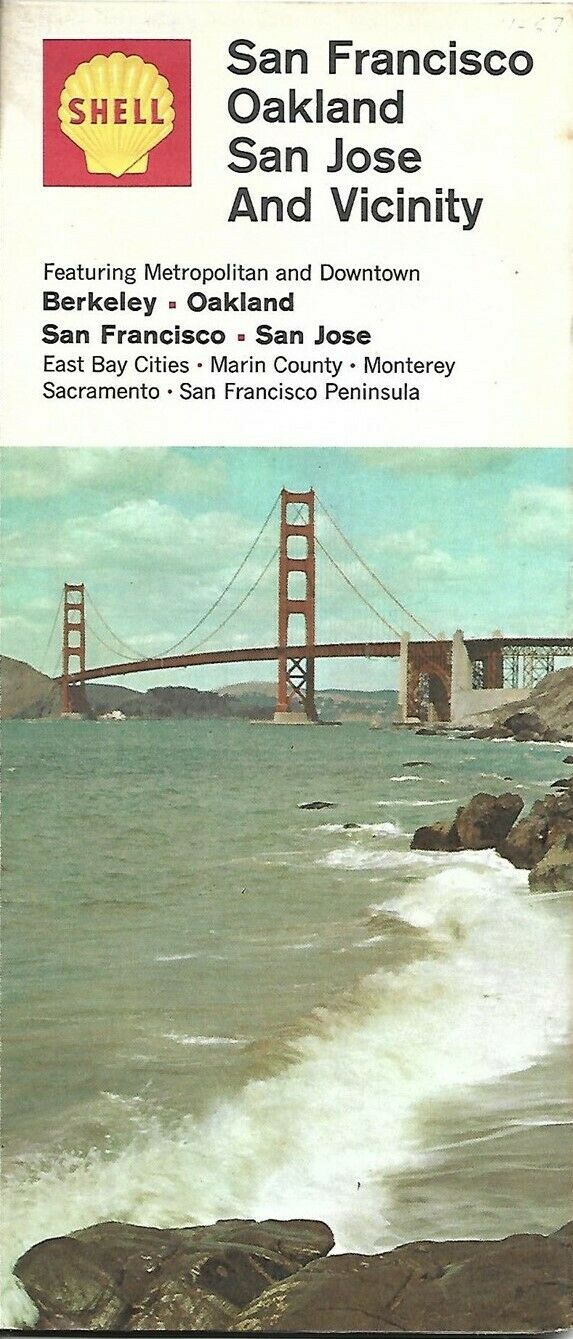
1969 SHELL OIL Golden Gate Bridge Road Map SAN FRANCISCO Oakland San Jose Marin
$ 4.74
- Description
- Size Guide
Description
Handsome fold-out 1969 Shell Oil Company road map of San Francisco and the southern peninsula, printed more than 52 years ago.This map opens to 36" x 23½" and has great detail on old street and highway alignments, with cartography by R.R. Donnelley & Sons.
The coverage area extends from Novato to San Jose, including Palo Alto, San Leandro, Alameda, Concord, Berkeley, and Richmond.
On the reverse side a regional map covers the area from Santa Rosa to Monterey, including Stockton, Sacramento, Salinas, Santa Cruz, and Napa.
The map was distributed by the Shell Oil Company in 1969 and is dated in the legend.
The cover photo shows the Golden Gate Bridge.
Condition:
This map is in very good condition, bright and clean, with
no
rips, tears, or writing. Please see the scans and feel free to ask any questions.
1969 was a capstone year in San Francisco's rock music history, which saw live performances by Janis Joplin; the Grateful Dead; Jefferson Airplane; the Doors; the Who; Crosby, Stills and Nash; Santana; Bo Diddley; and others. After the Rolling Stones were denied the use of Golden Gate Park, their concert was held at the Altamont Speedway near Livermore. One person was murdered during the show, subsequently labeled by
Rolling Stone
magazine as "rock and roll's all-time worst day."
Buy with confidence! We are always happy to combine shipping on the purchase of multiple items — just make sure to pay for everything at one time, not individually.
Powered by SixBit's eCommerce Solution


