-40%
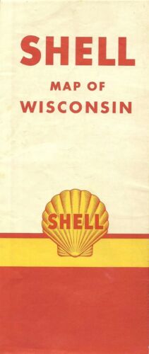
1957 SHELL OIL Road Map WISCONSIN Milwaukee Menominee Lake Michigan Ferry Routes
$ 3.69
- Description
- Size Guide
Description
1957 SHELL OIL Road Map WISCONSIN Milwaukee Menominee Lake Michigan Ferry RoutesHandsome fold-out Shell Oil Company road map of Wisconsin, printed more than 58 years ago.
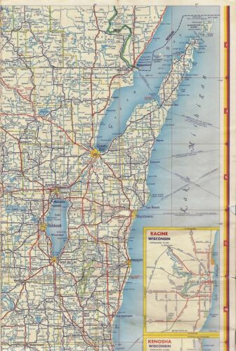
The map opens to 18" x 27" and has great detail on old highway alignments, with cartography by H.M. Gousha. Northern Wisconsin is on one side, and the southern half of the state is on the other, with an insets of Madison, Green Bay, and Milwaukee and vicinity, including Waukesha, Muskego Lake, and Whitefish Bay.
It also labels more than a half-dozen steamship and auto-ferry routes across Lake Michigan from ports in Wisconsin, including Menominee, Kewaunee, Manitowoc, and Milwaukee.
The map was distributed by the Shell Oil Company in 1957 and is dated in the legend. The code number in the lower margin is 7-EE-1957-1.
Condition:
It is in very good, lightly used condition. The paper has softened slightly, and there's a small scribble mark near the Wisconsin Dells and a tiny chip at the right edge. Please see the scans and feel free to ask any questions.
Buy with confidence! We are always happy to combine shipping on the purchase of multiple items, and everything we sell comes with
our unconditional, money-back guarantee.
Powered by SixBit's eCommerce Solution


