-40%
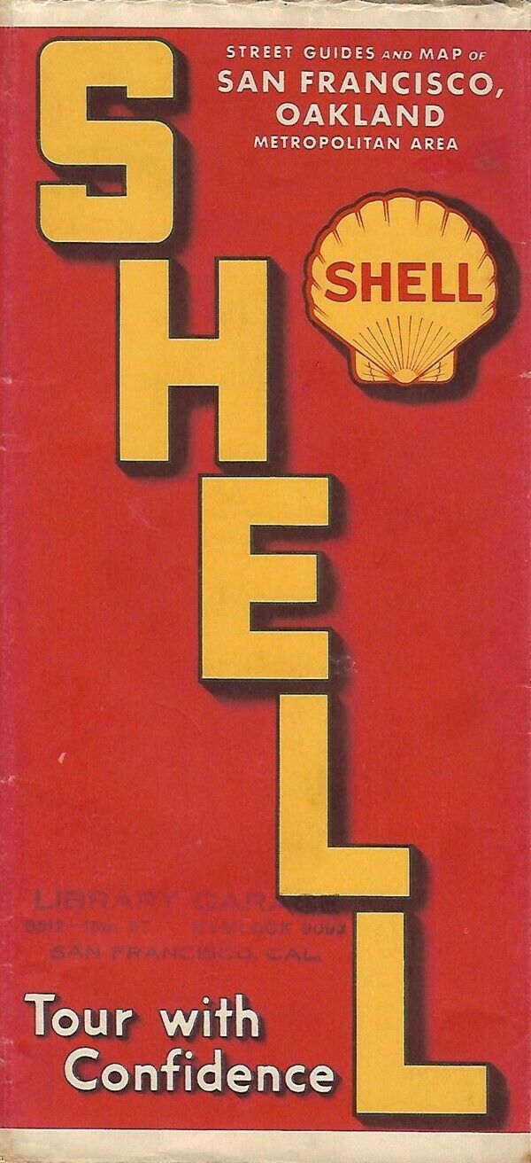
1938 SHELL Road Map SAN FRANCISCO OAKLAND California Treasure Island Berkeley
$ 15.83
- Description
- Size Guide
Description
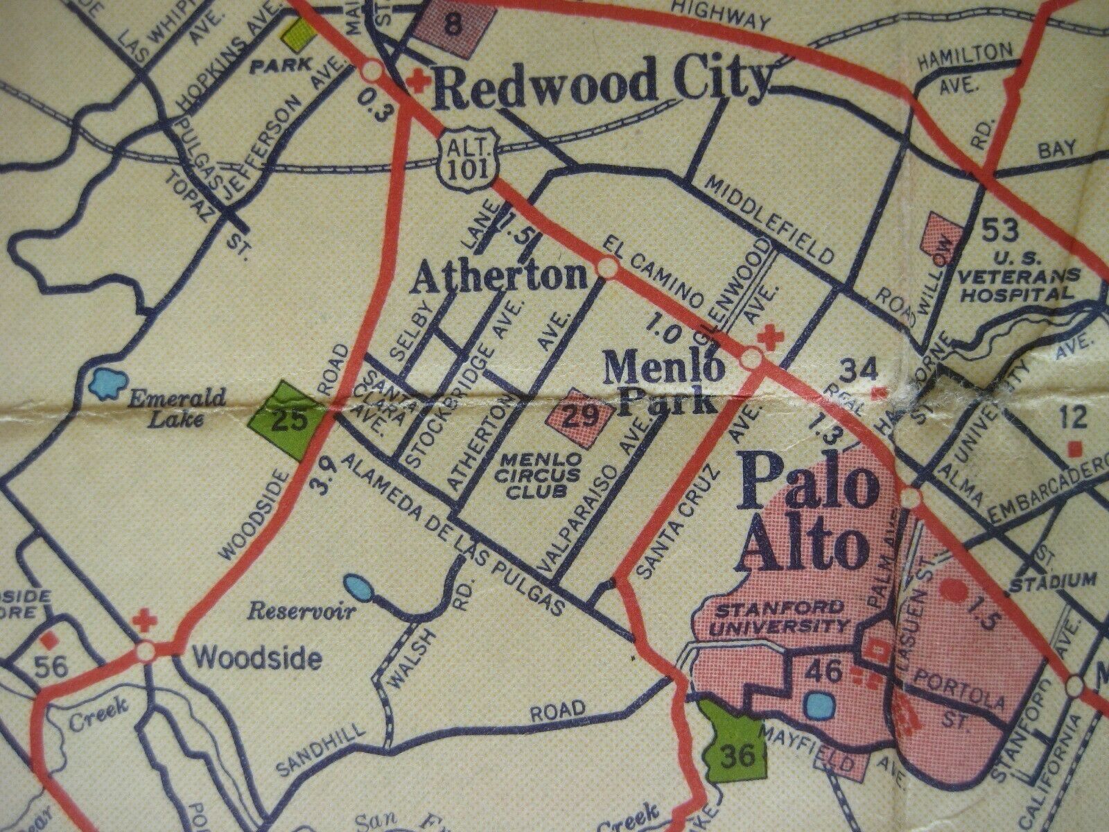
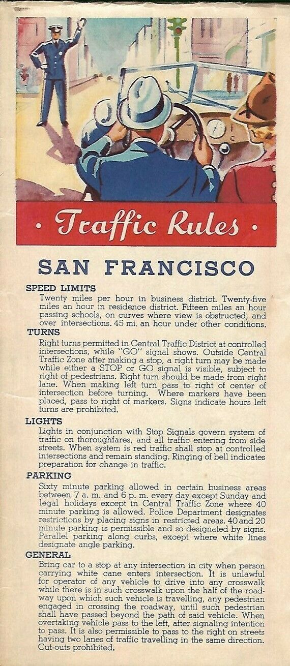
Vintage large-format fold-out 1938 Shell road map of San Francisco and the East Bay, printed more than 83 years ago.This map opens to a generous 27" x 27-1/2" and has great detail on old street and highway alignments, with cartography by H.M. Gousha.
The coverage area includes Berkeley, Alameda, San Leandro, Piedmont, Emeryville, and Oakland.
The map also locates the site of the 1939 Golden Gate International Exposition on Treasure Island. It also shows the nearby harbor used by Pan Am's China Clippers for their arrivals and departures.
This map was distributed by the Shell Oil Company in 1938 and is dated by the code number in the lower margin: L-1-1938-1.
Condition:
This map is in very good, lightly used condition, bright and clean, with
no
rips, tears, or writing. There's a neat rubber-stamp imprint on the front over from Liberty Garage in San Francisco. Please see the scans and feel free to ask any questions.
Buy with confidence! We are always happy to combine shipping on the purchase of multiple items — just make sure to pay for everything at one time, not individually.
Powered by SixBit's eCommerce Solution


